


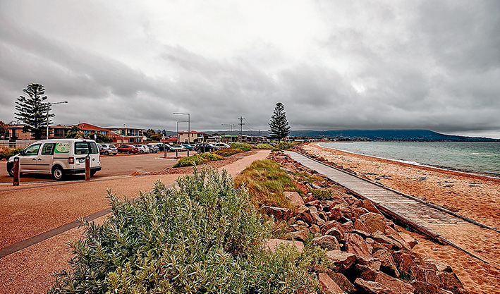
THE shire council has released a draft management plan for Safety Beach foreshore that will guide its use over the next 15 years.
But Safety Beach Foreshore Landscape Committee is concerned replanting work it had done since 1999 could be removed to enable car parking areas to be sealed and marked.
Committee president Tom McCullough said that according to the draft plan, which was approved for public exhibition mid-April, at least two parking areas would encroach on plantations.
“It’s a hostile environment to grow plants. Volunteers from our group have laboured long and hard for many years and it would be very disappointing to see them go,” he said.
Some areas had been replanted multiple times after plants died due to wind, salt spray, drought and other factors, he said.
Mr McCullough questioned the logic of reducing some parking areas and expanding others with no net gain of spaces.
He said the committee was also concerned some proposed parking access points were not well placed, the worst being a foreshore exit opposite the BP service station at the Dromana end of Safety Beach where Point Nepean Rd becomes Nepean Hwy and curves inland.
“This is a very busy intersection and we can’t work out why you’d put another car park exit in there,” he said.
The draft plan by Sorrento-based Mark Travers Landscape Architect will replace one done in 1999 by Tasmanian consultant Inspiring Place. Most of the recommendations made in 1999 were completed although some took until 2013, including the building of the Bay Trail bridge at Sheepwash Creek.
Two areas of the foreshore have suffered substantial erosion in recent times – the so-called Tassells Beach dog off-lead area on the Mt Martha side of Martha Cove marina entrance and an area south of Safety Beach Community Centre where a rock wall had been damaged. Mr McCullough said cliffs above the dog beach needed to be stabilised.
The mayor, Cr Bev Colomb, said Safety Beach foreshore “holds important values around the natural environment, cultural heritage and recreation for local residents and visitors alike”.
Good management was vital “given the projected growth in local and regional populations and the likely increase in demand for coastal recreation”.
She said key actions outlined in the draft plan included:
- Improving public amenity in the reserve.
- Improving pedestrian accessibility to the reserve.
- Reviewing car parking.
- Improving efficiency of boat ramps.
- Stabilising beach erosion and improving maintenance.
- Creating awareness of local history and the natural environment.
- Protecting dunes and vegetation.
The plan can be seen at shire offices in Rosebud, Mornington and Hastings; at shire libraries; or online at: www.mornpen.vic.gov.au/Whats_On/Your_Say
Large format plans are on display at the Atrium Safety Beach and the shire’s Mornington office.
Public comment deadline is Friday 12 June. Post to Manager Strategic Planning, Re: Draft Safety Beach Coastal Management Plan, Mornington Peninsula Shire, Private Bag 1000, Rosebud Vic 3939 or email to: customerservice@mornpen.vic.gov.au
First published in the Southern Peninsula News – 19 May 2015


