


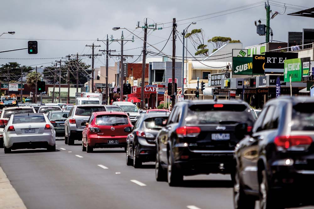
MELBOURNE’S rapid population growth and the popularity of the Mornington Peninsula as its “playground” is putting obvious and unwelcome pressure on its road network – particularly the southern peninsula freeway which daily struggles to cope with traffic.
A report to last week’s Mornington Peninsula Shire Council meeting on alternative traffic plans – Southern Peninsula Freeway Reserve, sought leave to investigate other transport options and manage ways of implementing them.
The shire’s traffic and road safety strategist Doug Bradbrook said the investigation to ease congestion on the southern peninsula “ranks as one of the most important transport challenges the … shire faces”.
“With Melbourne’s population forecast to be eight million by 2050 and the Mornington Peninsula referred to as Melbourne’s playground, the pressures on the shire’s road network are going to significantly increase,” he said.
“The preliminary investigation of traffic planning for the southern peninsula was the council’s response to significant ongoing concerns raised by the community in relation to the increasing impacts of traffic congestion – especially during summer periods and long weekends. It also supports the recent council decision to recognise the importance of the Tootgarook wetlands. This decision included requesting VicRoads to remove the public acquisition overlay currently in place for the southern peninsula freeway reserve.”
Consultants Traffix Group had provided a preliminary, assessment of current traffic conditions on the southern peninsula, Mr Bradbrook said.
“Due to the extensive developed residential areas west of Rye and the extent of the Tootgarook wetlands there are limited opportunities to develop potential options as alternatives to using the freeway reserve.
“Nevertheless, the investigation has resulted in ideas for a range of short, medium and long term traffic congestion management options that would be alternatives to using the southern peninsula freeway reserve through the Tootgarook wetlands.”
He said the range of potential options “become progressively more complex and costly, and with greater impacts, as the options become more substantive to resolve congestion in the longer term”.
The report follows a decision by council on 24 April to place the draft road improvement strategy on public exhibition for four weeks and to provide a preliminary report within 90 days on traffic movements on the southern peninsula as an alternative to the freeway reserve overlay between Boneo Road and Blairgowrie.
Mr Bradbrook said to progress beyond the initial investigation of alternatives to using the southern peninsula freeway reserve the shire should seek community views and feedback on traffic management ideas and options.
It should also seek state government partnerships with Transport for Victoria and VicRoads, and develop an integrated transport plan to “provide strategic direction and a basis for guiding and evaluating longer-term options”.
He said there was a need for transport and economic modelling to further develop and ensure the viability of the options; for a comprehensive assessment of social and environmental impacts of options; and, for a conclusive environmental impact assessment of an arterial road corridor or freeway through the Tootgarook wetlands.
The shire has submitted a funding proposal to VicRoads and Transport for Victoria seeking consideration as part of the state’s prioritised transport infrastructure program.
First published in the Southern Peninsula News – 21 August 2018


