


The CSIRO is leading studies into the likely effects of climate change along the Port Phillip coastline.
“This project is an important piece of the puzzle in understanding what climate change means for Victoria’s natural and built environments,” Department of Environment, Land, Water and Planning (DELWP) project manager, Dr Tamara van Polanen Petel said.
The department is one.
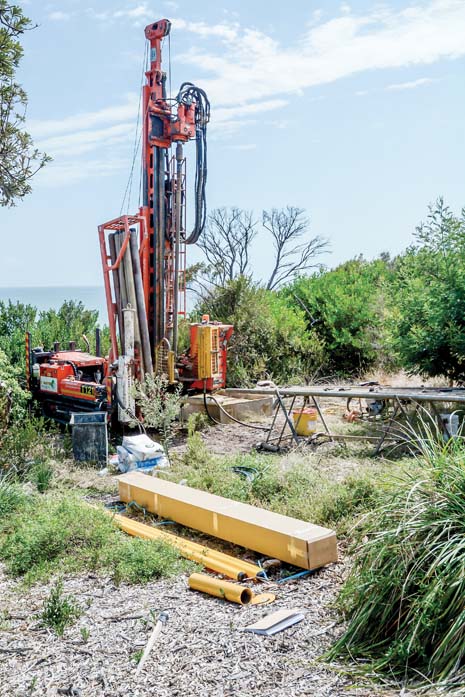
The project – which involves government departments and bayside municipalities – will assess the extent of three key coastal hazards: inundation, coastal erosion, and groundwater change – under several climate change scenarios.
“We know that climate change is happening, and we know that it can create coastal hazards,” Ms van Polanen Petel said.
“What we don’t currently understand is the extent of those hazards and the kind of impacts we will see along the coastline.”
Ms van Polanen Petel said climate change could lead to flooded roads, eroded cliffs and “inland waters becoming saltier”.
“It’s important that this modelling work happens so that land managers, including government departments and councils, can consider how best to plan for, build and manage coastal areas in the years to come.”
The Port Phillip Bay Coastal Hazard Assessment is the fifth assessment of its kind in Victoria, with similar studies being completed for Western Port, Port Fairy, Bellarine/Corio Bay and Gippsland Lakes/90 Mile Beach.
The CSIRO will draw on data from across government, industry and research sectors with a view to completing the assessment early next year.
Ms van Polanen Petel said DELWP is working closely with 10 bay-area councils – including Frankston and Mornington Peninsula – Parks Victoria, Melbourne Water, the bay’s two catchment management authorities, the Association of Bayside Municipalities and traditional owners.
First published in the Southern Peninsula News – 5 March 2019


